
Sandwich ZIPs and Postal Areas
The current Barnstable County village table for Sandwich associates three postal localities with Sandwich: the primary Sandwich label, East Sandwich, and Forestdale. These Sandwich labels are a sound starting point for normalizing a Sandwich address, but they do not establish a legal boundary or every Sandwich record connection. USPS should confirm the delivery formatting for a particular Sandwich address. A ZIP result also cannot identify all people who may be connected to the same postal area.
| ZIP | Areas covered | Post office or verification | Notes |
|---|---|---|---|
| 02563 | Sandwich | Verify the specific address with USPS. | Primary Sandwich mailing ZIP in current county material. |
| 02537 | East Sandwich | Verify the specific address with USPS. | Locality label, not a legal town boundary. |
| 02644 | Forestdale | Verify the specific address with USPS. | Compare the postal label with the town and parcel record. |
| 02562 | Sagamore Beach in a dated Sandwich profile | Verify the specific address with USPS. | Current county material associates Sagamore Beach with Bourne. |
The last row is a Sandwich caution, not a reassignment of a Sandwich parcel. County locality material and a dated town profile do not settle delivery service for a particular Sandwich street address. Use the postal result, parcel location, and Sandwich record custodian together.
For Sandwich addresses, keep the house number, street suffix, directional, unit, and ZIP with the source date. A Sandwich mailing string can be useful when searching a Sandwich parcel, but a Sandwich village label should not override the legal municipality. The current county table is a locality aid for Sandwich research. USPS remains the delivery check for a particular Sandwich address.
A Sandwich ZIP code directory is a postal reference, not a substitute for the Sandwich record system that holds the underlying parcel, deed, or voter information.
Note: Retain the full address and source date when comparing a Sandwich postal result with a county locality table.
Sandwich ZIP Code Directory Steps
No official Sandwich portal in the research provides a ZIP-wide resident search. A Sandwich ZIP narrows an address-normalization task, then each Sandwich record system uses its own key. The postal workflow follows that limit: it uses the postal label to direct a specific-address check, not to compile a roster. The Registry filters recorded instruments for Sandwich by town, not ZIP. The voter tool uses ZIP only as one part of an individual status match, and MapGeo's exact ZIP controls were not verified.
- Enter the complete street address in the USPS ZIP Lookup with the city and state, or use the ZIP option shown by that tool. Retain the standardized delivery result.
- Compare the postal result with the current county village table and the stated locality in the source record. A postal city or village name may not be the legal municipality.
- Open the address in Sandwich MapGeo to check parcel context. Do not claim a MapGeo ZIP filter, because its exact live controls were not verified.
- When verifying one supplied person, use the Massachusetts voter-status search only with its required identity fields and five-digit residential ZIP. It does not return every voter in that ZIP.
- For a deed or recorded instrument, search the Barnstable Registry with its Towns filter and the party or document details. The postal ZIP is not a Registry search key.
Once a postal area is narrowed to a particular road, the Sandwich Street Directory has the address-to-parcel and deed-chain route. That work still identifies records, not a ZIP-wide resident list.
Sandwich Postal Field Checks
USPS and the Massachusetts voter-status portal accept ZIP-related input for sharply different purposes. USPS normalizes a delivery address. The voter portal validates a single registration inquiry and returns a limited public result. Supplying a ZIP in either portal does not make the result a directory of the surrounding area.
| Portal | Verified fields supplied | Result boundary |
|---|---|---|
| USPS ZIP Lookup | Street address plus city and state, or ZIP. | Standardized Sandwich-address lookup for delivery normalization, not identity confirmation. |
| Massachusetts voter status | First name, last name, date of birth, five-digit residential ZIP, and agreement checkbox. | Individual voter-registration result for a Sandwich search, not a ZIP roster. |
The distinction is practical. A normalized delivery string can help avoid searching a nearby municipality, while an individual voter check should be used only for the particular person whose required information is supplied.
Note: A five-digit ZIP supports an individual voter query, but it does not open a public list for that postal area.
Sandwich Postal and Parcel Roles
Sandwich Engineering maintains GIS and streets or roads context. Assessing maintains parcel and tax records, including the property-side relationship between a location and its map record. USPS standardizes delivery addresses. Their roles overlap at an address but are not interchangeable. Engineering is the best first custodian for road centerlines, driveway permits, and addressing questions; Assessing and MapGeo provide the parcel crosswalk; USPS is the final delivery-address check.
The town GIS page says its mapping data may not always be current and carries no warranty. A parcel identification is useful context, but it is not a legal survey. The Registry belongs at the next step only when a recorded ownership or instrument question remains after the parcel and postal details are separated.
For Sandwich road questions, Engineering can clarify the road or address context that a map layer depicts. For Sandwich parcel questions, Assessing and MapGeo supply the local property route. For Sandwich mail delivery, USPS supplies the standardized result. The Barnstable Registry then holds the recorded-land trail for Sandwich, using town and party or document information rather than a postal filter. Keeping those Sandwich roles distinct prevents a delivery label from being treated as a legal description.
The 02562 Sandwich Quirk
Postal discrepancy. A dated Sandwich profile includes 02562 with Sagamore Beach, while the current Barnstable County village table associates Sagamore Beach with Bourne. That difference is a postal or historical discrepancy, not a reason to assign a specific address to Sandwich. Check the complete address with USPS, then compare the parcel and legal municipality before selecting a town office or Registry filter.
This is why postal labels should be copied with the source date. A village, postal place, historic area, and legal town can share familiar words while pointing to different geographic systems.
A Sandwich record can therefore carry a postal label that is useful for mail but insufficient for jurisdiction. A Sandwich parcel search, a Sandwich municipal-boundary check, and a Sandwich source date make the comparison more reliable than a profile label alone.
Three Dates for Sandwich Parcels
Three dates matter. A property timeline needs at least three dates whenever the records supply them: the document or recording date, the assessment date, and the retrieval date. Sandwich Assessing described the reviewed FY26 material with a January 1, 2025 assessment date, while the Registry carries the recording date for a deed or other instrument. The date a researcher checked a portal explains what version of a dynamic record or map was available.
Those dates prevent a ZIP code from becoming a vague claim of currentness. A tax card is not the deed, and a deed is not the current assessment. Compare the parcel identifier, source date, and document type before joining them in a research note.
Sandwich GIS Postal Check
The town's Geographic Information Systems page identifies the municipal GIS role and directs researchers to map resources. Use it to understand the town-maintained spatial context before treating a postal label as a parcel location. Parcel browsing is public through MapGeo, but no verified public ZIP filter or fixed field list was located in the research.
The official Sandwich GIS page documents the town's GIS entry point and its data caution.
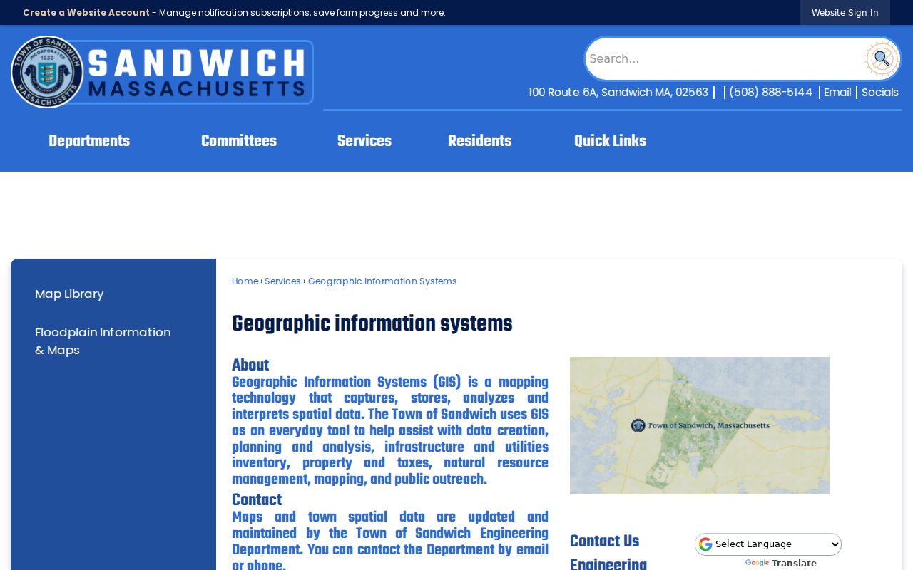
Capture the map layer and date with any parcel note. That simple practice makes it possible to distinguish a current map view from an older postal or historic place label.
Sandwich GIS information is most useful when the researcher records what the Sandwich layer can establish. A Sandwich parcel outline may show spatial context. A Sandwich assessor resource may show the parcel-side record. Neither Sandwich result confirms delivery service without the USPS result, and neither determines the legal municipality without the appropriate boundary source.
Sandwich Map Library Layers
The Sandwich Map Library links official map resources, including ArcGIS, assessor maps, roads and subdivisions, zoning, conservation, stormwater, and cemetery material. These layers can help test whether an address belongs to the parcel and municipal geography expected by a record. They do not transform a ZIP into a resident search, and the appropriate layer depends on the question being asked.
The official Map Library is the town's map-resource index for this comparison.
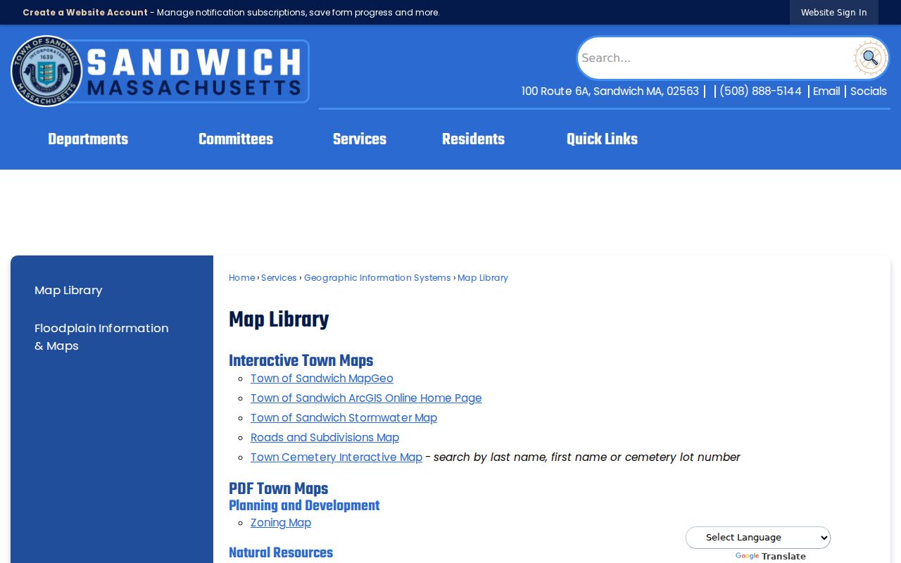
For a boundary question, keep the postal result, map layer, and parcel identifier in the same note. The three records may answer different parts of the question without contradicting one another.
Sandwich map resources are especially useful where a Sandwich address includes a village or historic-area label. The Sandwich roads and subdivisions material can add location context, while the Sandwich assessor map and the Sandwich parcel record support property research. Date each Sandwich map view, because map availability and data maintenance can change.
Note: Identify the Sandwich map layer used, since a road, zoning, and parcel layer can describe different features.
Sandwich ZIPs and Legal Towns
Postal areas, villages, historic districts, and the Town of Sandwich legal boundary are different geographies. The Commonwealth's MassGIS municipality data identifies legal municipal boundaries, while a ZIP helps route mail. When an address seems to sit in an enclave or carry an unexpected locality, compare the legal municipality layer, parcel boundary, USPS result, and source agency before deciding which office has the record.
- ZIP
- A postal routing code used to help sort mail. It is not a legal town boundary or a list of residents.
- ZIP+4
- An added four-digit delivery segment that narrows a mailing route beyond the five-digit ZIP.
- PO-box ZIP
- A ZIP used for post-office box service. It should not be assumed to describe the physical location of a parcel.
- Carrier route
- A mail-delivery grouping used for distribution. It is not a civic district, parcel boundary, or resident roll.
Note: Keep a postal label, the legal municipality, and the parcel source distinct whenever a record crosses a village or town line.
A Sandwich ZIP label is a mail-routing clue. A Sandwich legal-town result identifies jurisdiction. A Sandwich parcel note ties the source to a location. Use all three for Sandwich questions that cross postal, village, and municipal boundaries.