
Finding Sandwich Streets by Address
Sandwich has no public browseable roster for a whole street. An address can instead lead to Sandwich parcel records, recorded ownership, a limited voter-status check, or a dated directory entry. Each source answers a narrower question. Sandwich Assessing and Sandwich MapGeo can connect a location with a parcel and an owner as displayed. A Barnstable Registry record for Sandwich can document a land transaction. A voter search validates one supplied person rather than listing a block. Keep those results separate, especially when an owner, tax-mail recipient, and occupant may be different people.
- Begin at Sandwich Assessing or the public Sandwich MapGeo viewer with the street address. Note the Sandwich parcel or map-and-lot information and the owner only as displayed.
- Use the owner name associated with the Sandwich parcel and its Sandwich parcel context as a lead, not as an occupancy finding. A situs address and a mailing address can differ, and neither alone proves who currently occupies the location.
- Move to the Barnstable Registry name search. Check both grantor and grantee sides, then follow the recorded chain by book and page or instrument number.
- For a specific person, the Massachusetts voter-status tool can be used only with the required individual details. A Sandwich street-list or voter-list request goes through the Sandwich Town Clerk, with current format, redaction, and use limits confirmed first.
- For an older Sandwich address, consult a dated directory only after confirming that the volume has a street section. Record the year, page, and exact entry rather than carrying a historical listing into the present.
That sequence is the useful core of a by-address search: parcel first, name chain second, and historical context last. It avoids turning a partial index into a claim about every person connected with a road.
Sandwich MapGeo Address Leads
Sandwich MapGeo provides public parcel browsing, parcel selection, and visible map layers. The Town of Sandwich states that GIS data may not be current and is supplied without warranty, so record the layer name and retrieval date before relying on a Sandwich map view. The Sandwich research confirms the kinds of property keys below, but the live MapGeo and field-card screens did not publish a fixed, verified label order. Treat the viewer as a lead map, not a legal survey.
| Property key | Use in an address search | Published label status |
|---|---|---|
| Owner | Convert the displayed owner name into Registry grantor and grantee searches. | Exact dynamic label not published. |
| Situs or property address | Match the physical parcel location and normalize a street suffix before the next search. | Exact dynamic label not published. |
| Parcel or map-lot | Keep the parcel identifier with the map view and deed notes to avoid a same-street mix-up. | Exact dynamic label not published. |
The public MapGeo parcel viewer is the starting visual record for this route.
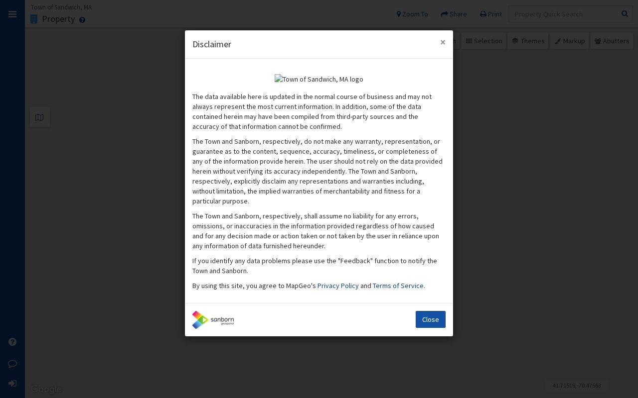
Browse to the Sandwich parcel and preserve the displayed context. Do not infer a neighbor list from a map click, because public control names and any buffer tools were not verified in the available research.
Sandwich GIS also connects researchers to parcel, zoning, stormwater, roads and subdivisions, conservation, and assessor-map resources. These are different Sandwich layers with different purposes. A Sandwich road line can help normalize a street name, while a Sandwich parcel selection supplies the location context for the next record. Neither layer substitutes for a survey, a deed, or an occupancy finding.
Note: Record the Sandwich layer name and retrieval date, because a public map view can change without creating a new deed record.
Sandwich Street Records by Address
The records below are keyed to place in different ways. They do not form one unified address index, but they are the documented address routes available for Sandwich research. The Sandwich assessor and Sandwich map views are town resources. Deeds and plans for Sandwich are held by the Barnstable Registry. Sandwich permit information follows a separate municipal system, and historical sources need a date and citation.
| Address source | What it shows | Search access |
|---|---|---|
| Sandwich Assessing or field card | Owner, situs or mailing information, value, exemptions, card, or sketch where public. | Sandwich property route; live fields are dynamic. |
| Sandwich MapGeo | Parcel shape, visible layers, and map or lot context. | Public Sandwich browse and selection; no legal-survey warranty. |
| Barnstable Registry for Sandwich | Recorded instruments, parties, legal descriptions, and plans in a title chain. | Free online Sandwich research; address mode is a limited lead and copies have separate routes. |
| Sandwich Permit Eyes | Applications, tracking, inspections, and amendments where the portal makes them available. | Sandwich public or account-dependent interface; exact fields require live confirmation. |
| Sandwich directories and newspapers | Dated address, business, move, death, or household context. | Sandwich library and archive collections with year and page citation. |
A Sandwich parcel number helps keep the Sandwich map and assessment record together. The Barnstable Registry then uses recorded names, town, dates, document type, and book-page or instrument details for Sandwich property. A Sandwich street name alone can be incomplete, particularly when suffixes are shortened or a historic label differs from modern postal use.
Sandwich Street Search Terms
Use record terms precisely. These distinctions keep a Sandwich street search focused on what a source actually identifies and prevent the common error of treating tax-mail data as an occupancy record.
- Parcel
- A mapped unit of property used by local assessment and GIS systems. It is a location key, not a household roster.
- Situs address
- The physical location of the parcel. It can differ from the address used for tax notices.
- Mailing address
- The destination used for an assessment notice or tax bill when shown. It may be outside Sandwich and does not establish residence at the parcel.
- Criss-cross directory
- A historical directory arranged by location or street rather than only by name. Confirm that a particular volume includes that section before using it.
These terms also explain why an address result can be useful but incomplete. The location, owner, recipient of mail, and a historical directory listing may all point to different moments or relationships.
Sandwich Deed Names by Street
The Registry's address search is an optional starting point, not a complete street index. It has address indexing from August 1993, and the Registry warns that the address results are unofficial and incomplete. Search the location with normal and abbreviated suffixes if needed, then convert any lead into a name search. The name form requires a last name and permits first name, party-side, document type, town, date-range, and all-years choices. Its land records reach back to 1742, although some old or oversized material can require another access route.
The Registry name-search form is where the title chain becomes more reliable than an address hit.
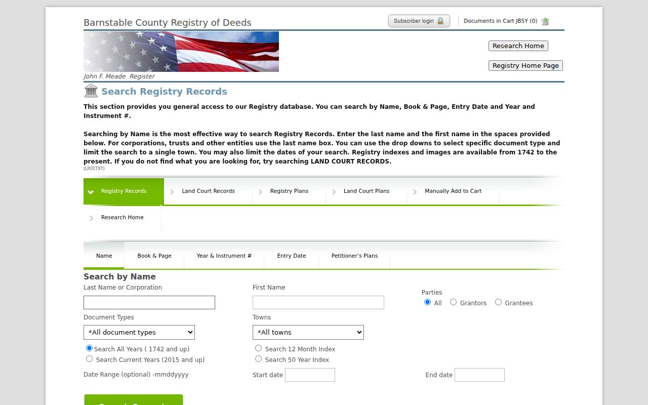
Check whether a Sandwich result is grantor or grantee, record the document type and recording date, then open the linked image as a research copy. A browser image is not an official copy, and a recorded Sandwich owner should not be described as a current occupant without independent, lawful evidence.
Sandwich researchers can view Registry indexes and document images online without charge. The Registry's public-access guidance says browser PDFs are unofficial. For a Sandwich copy request, use the Registry copy route with the book and page, document number, or enough party and property information for the office to locate the record. Older Sandwich images and oversized plans can require a different access route.
Note: Preserve the party side, document type, recording date, and book-page or instrument number with every Sandwich Registry result.
Sandwich Street Permit Context
The Sandwich Building Department directs permit work to Permit Eyes, which supports applications, tracking, inspections, and amendments. A Sandwich permit can add a project chronology to a specific address, but it does not supply a public household list. The inspected research did not verify the exact public search fields, result cards, or account boundary. Use only the information visible through the current portal and ask the department about a defined Sandwich record when the public screen cannot answer the question.
The Sandwich Permit Eyes portal is the documented entry point for address-based permit research.
For a Sandwich property timeline, retain a permit number, the status shown, and the date checked. Do not turn an application or inspection record into a conclusion about private occupants.
Sandwich Street Lists Need Confirmation
Massachusetts voter registration search is a self-status tool, not a public browser for everyone on a road. It takes a supplied first name, last name, date of birth, five-digit residential ZIP, and agreement before returning the limited registration result. The Town fee page lists a voter or resident list by CD or email for $15 and an annual street list for $20. Those prices establish that list products exist, but the public research did not verify the current request form, fields, redactions, delivery, or allowed uses.
Ask the Sandwich Town Clerk for the current product description, date, format, redaction treatment, and use restrictions before making a request. Protected voters and Address Confidentiality Program participants may have substitute or withheld addresses. A list is also a dated record, not a permanent account of who lives on a Sandwich street.
Note: Request the record series and its date rather than asking an office to compile a profile of everyone connected with an address.
Sandwich Election Information links official results from 2008 forward, a precinct map, registration forms, vote-by-mail material, and enrollment information. Those Sandwich resources describe elections and individual status routes, not a public Sandwich street browser. For a Sandwich list product, the Clerk remains the source for current availability and restrictions.
Sandwich Historic Street Labels
Historic address work needs a map year. Route 6A appears in historic material as Old King's Highway, but that continuity does not create an official former-name or renumbering crosswalk. No complete Sandwich crosswalk was located in the reviewed sources. When a deed, obituary, or directory uses a road label that does not match a modern result, keep the historic wording and its source date beside the current parcel notes.
Practical check. Compare the map year, parcel identifier, document date, and retrieval date before joining old and current records. The Historical Commission's maps and research guidance can supply local context, while Engineering, Assessing, Archives, and the Registry are the safer custodians to ask about a break in the chain.
Note: Keep the historic road label in the citation until an office confirms how it relates to the current Sandwich parcel.
Sandwich Past Street Entries
Historical directories are a separate, dated layer of street research. The State Library lists Sandwich directory holdings for 1900, 1908, and 1926. National Archives holdings identify regional Barnstable, Falmouth, and Bourne volumes with Sandwich for 1903, 1908, 1926, and 1929. A volume may organize entries by name, street, business, or telephone, so the street section must be confirmed before it is used as a reverse directory. Publishers were not identified in the authoritative holdings lists.
Capture the volume title, year, page, exact spelling, number, and any abbreviation. A directory entry is a period snapshot and does not prove present occupancy. For the historical shelf and citations behind these dated records, see the Sandwich Directory Book.
Limits on Sandwich Street Searches
A Sandwich public parcel card does not enumerate all household members. Sandwich utility customer names are not a public street tool, and motor-vehicle personal information has federal disclosure limits. Sandwich court files can be sealed or impounded, vital records can be restricted, and an Address Confidentiality Program participant may use a substitute address. These limits matter even where a source is generally public. Address research should report the record's stated relationship to a location, its date, and its custodian, not combine fragments into a sensitive person profile.
When the needed source is not indexed, a narrow request for a defined record series can be more appropriate than repeated searching. Preserve the response date and any redaction explanation with the research notes.